SDI4Leb
Spatial Data Infrastructure for Lebanon - Joint Research Center - European Commission
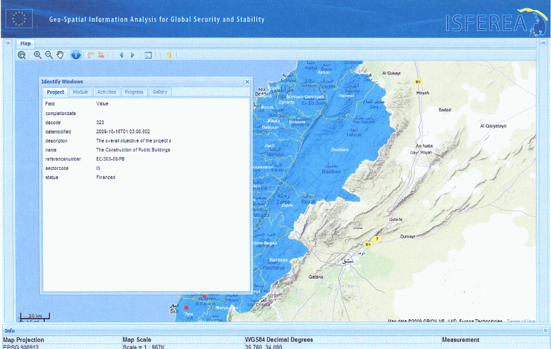
SDI4LEB - Development of a Spatial Data Infrastructure in support of reconstruction monitoring. Application for Lebanon (2008 - 2009) Geo-spatial information processing technology can support rapid assessment and monitoring of large scale infrastructure projects that receive Community funding. Current technology allows for the collection of content-rich digital records (e.g. documents, photo and video materials, maps and plans) that are geo-located for each of the funded projects.
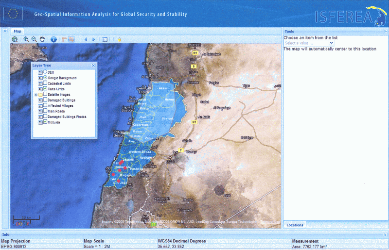
The accessibility to this information via a standard browsing mechanism allows for novel ways to visualize and summarize important progress information for a variety of end-users, including local NGOs staff, the EC Delegation and DG AIDCO project officers, the Lebanese beneficiaries, other donor entities and, if required, the public.