GIS-Based Precision Agriculture
Precision Agriculture
Precision agriculture integrates new innovative technologies with a fully grown agricultural industry.
Several farm tasks have now become automated as GPS, unmanned aerial vehicles (UAV), and robotics
technologies advance. GIS is an essential component of automated field operations, also renowned
as precision agriculture or satellite farming. Precision farming helps to improve the use of soil
resources and external data sources on a location basis. The main requirements for precision farming
research are spatial data, including an analysis of spatial variability, and simulation models for
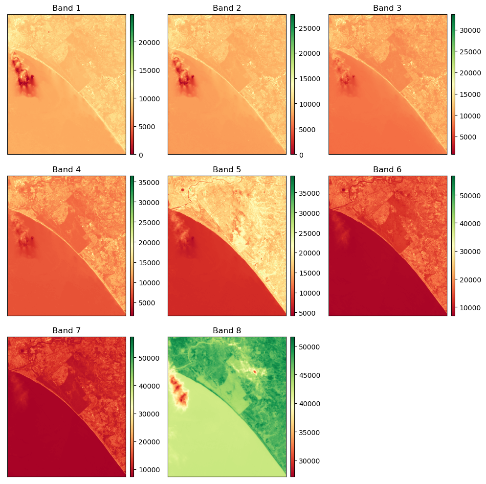
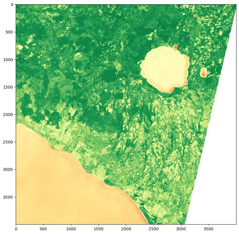
the classification of the processes that occur. Geographical information systems (GIS) are systems
for storing, analyzing, and displaying spatial data.
Precision agriculture (PA), also referred to as satellite farming or site-specific crop management
(SSCM), is an agriculture management approach that is based on monitoring, estimating, and responding
to variability in different crops. Precision agriculture greatly benefits from the use of GIS and
simulation models.
A decision support system based on GIS could be constructed for the operational
application of precision agriculture at the farm level.
Precision farming utilizes GPS-based applications for farm organizing, field mapping, soil testing,
tractor guidance, crop scouting, and yield mapping. Farmers can use GPS to work in low visibility
ground conditions such as rain, dust, and fog.
Information required to improve land and water use can be captured using GPS and, GIS.
Farmers can attain even more gains by incorporating better fertilizer and organic manure utilization,
calculating the economic threshold for handling pest and weed infestations, and safeguarding
resources for future generation's use.
Crop experts map pest, insect, and weed problems in the field using rugged data collection
gadgets with GPS for precise positioning. Crop pest problem areas can be identified and mapped
for future management practices and input recommendations.
Variable Rate Technology (VRT)
Variable-rate technology (VRT) is an integral part of precision agriculture that allows data
to be used effectively. It combines farm equipment, control mechanisms, and software tools to
apply sufficient quantities of growing inputs at specific times or locations.
Precision farming with VRT benefits both the economy and the environment.
Farmers and agricultural service providers can hope for even more advancements as GPS
technology evolves. GIS can assist a farmer in adapting to various variables, monitoring
the health of individual crops, estimating yields from a particular field, and boosting crop
production.